Rivers
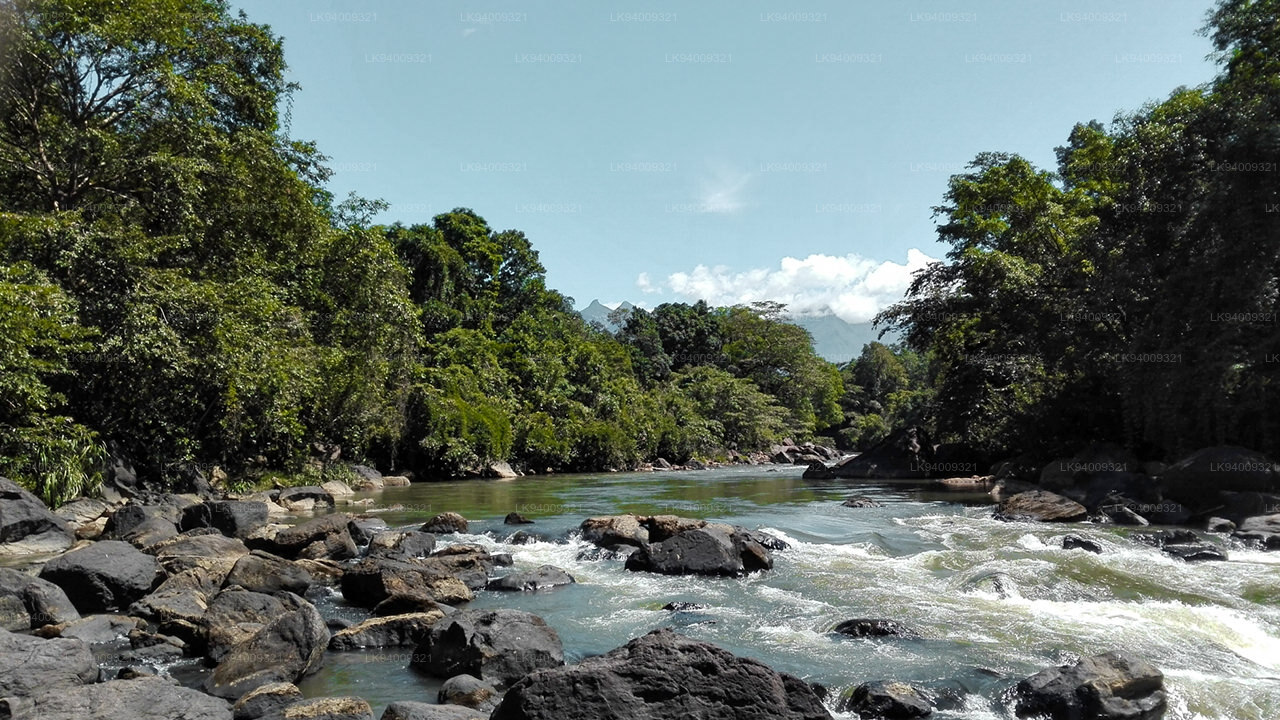
The rich network of rivers in Sri Lanka make the island an oasis at any time of year, naturally watering the paradise garden with its splendid heritage. The highest concentration of rivers and lakes is found in the south-west of the country, making it possibly the most fertile area in Sri Lanka.
Kalu Ganga (කළු ගඟ)
Kalu Ganga (Sinhala: කළු ගඟ; literally: Black River) is a river in Sri Lanka. Measuring 129 km (80 mi) in length, the river originates from Sri Padhaya and reach the sea at Kalutara. The Black River flows through the Ratnapura and the Kalutara District and pass the city Ratnapura. The mountainous forests in the Central Province and the Sinharaja Forest Reserve are the main sources of water for the river.
Kalu Ganga basin is one of the most important river basins in Sri Lanka which receives very high rainfalls and has higher discharges. Due to its hydrological and topographical characteristics, the lower flood plain suffers from frequent floods and it affects socio-economic profile greatly. During the past several years, many researchers have investigated climatic changes of main river basins of the country, but no studies have been done on climatic changes in Kalu Ganga basin. Therefore, the objective of this study was to investigate precipitation trends in Kalu Ganga basin. Annual and monthly precipitation trends were detected with Mann-Kendall statistical test. Negative trends of annual precipitation were found in all the analyzed rainfall gauging stations. As an average, -0.98 trend with the annual rainfall reduction of 12.03 mm/year was found. April and August were observed to have strong decreasing trends. July and November displayed strong increasing trends. In conclusion, whole the Kalu Ganga basin has a decreasing trend of annual precipitation and it is clear that slight climatic changes may have affected the magnitude and timing of the precipitation within the study area.
-
 Malwathu Oya (මල්වතු ඔය)
The Malvathu River long river in Sri Lanka, connecting the city of Anuradhapura, which was the capital of the country for over 15 centuries, to the coast of Mannar. It currently ranks as the second longest river in the country, with a great historic significance.
-
 Kelani River (කැලණි ගඟ)
The Kelani River is a 145-kilometre-long (90 mi) river in Sri Lanka. Ranking as the fourth-longest river in the country, it stretches from the Sri Pada Mountain Range to Colombo. It flows through or borders the Sri Lankan districts of Nuwara Eliya, Ratnapura, Kegalle, Gampaha and Colombo.
-
 Yan Oya (යාන් ඔය)
The Yan Oya is the fifth-longest river of Sri Lanka. It measures approximately 142 km (88 mi) in length. Its catchment area receives approximately 2,371 million cubic metres of rain per year, and approximately 17 percent of the water reaches the sea. It has a catchment area of 1,520 square kilometres.
-
 Walawe River (වලවේ ගඟ)
The southern region of Sri Lanka is exalted by a bushel of enthralling and glorified rivers and the Walawe River is one of them. Gently flowing through the Udawalawe National Park, the Walawe River provides water for a multitude of species of mesmerising fauna.
-
 Kalu Ganga (කළු ගඟ)
Kalu Ganga is a river in Sri Lanka. Measuring 129 km (80 mi) in length, the river originates from Sri Padhaya and reach the sea at Kalutara. The Black River flows through the Ratnapura and the Kalutara District and pass the city Ratnapura. The mountainous forests in the Central Province and the Sinharaja Forest Reserve are the main sources of water for the river.
-
 Maha Oya (මහ ඔය)
The Maha Oya is a major stream in the Sabaragamuwa Province of Sri Lanka. It measures approximately 134 km (83 mi) in length. It runs across four provinces and five districts. Maha Oya has 14 Water supply networks to serve the need of water and more than 1 million people live by the river.
-
 Gin Ganga (ගිං ගඟ)
The Gin Ganga, is a 115.9 km (72 mi) long river situated in Galle District of Sri Lanka. The river's headwaters are located in the Gongala Mountain range, near Deniyaya, bordering the Sinharaja Forest Reserve.
-
 Kala Oya (කලා ඔය)
It was around these ancient tank (water storage reservoir) irrigation systems that the economy and human settlements of early Sri Lankan society were organised into a “hydraulic civilization”.
-
 Deduru Oya (දැදුරු ඔය)
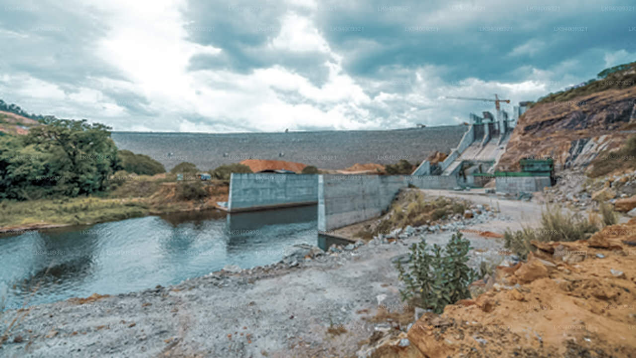
The Deduru Oya Dam is an embankment dam built across the Deduru River in Kurunegala District of Sri Lanka. Built in 2014, the primary purpose of the dam is to retain approximately a billion cubic metres of water for irrigation purposes, which would otherwise flow out to sea.
-
 Maduru Oya (මාදුරු ඔය)
The Maduru Oya is a major stream in the North Central Province of Sri Lanka. It is approximately 135 km (84 mi) in length. Its catchment area receives approximately 3,060 million cubic metres of rain per year, and approximately 26 percent of the water reaches the sea.
-
 Kumbukkan Oya (කුඹුක්කන් ඔය)
The Kumbukkan Oya is the twelfth-longest river of Sri Lanka. It is approximately 116 km (72 mi) long. It runs across two provinces and two districts. Its catchment area receives approximately 2,115 million cubic metres of rain per year, and approximately 12 percent of the water reaches the sea.
-
 Mi Oya (මී ඔය)
The Mi oya is a 108 km (67 mi) long river, in North Western of Sri Lanka. It is the fifteenth-longest river in Sri Lanka. It begins in Saliyagama and flows northwest, emptying into the Indian Ocean thru Puttalam.

