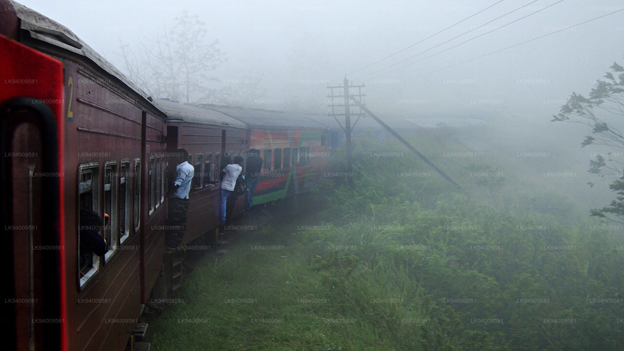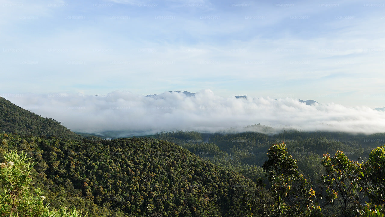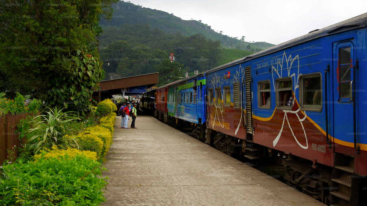
Badulla City
Badulla: Scenic town in Sri Lanka's hill country, surrounded by lush tea plantations and offering picturesque landscapes, waterfalls, and cultural sites.
Welimada
Welimada (වැලිමඩ)is a town in the Badulla District of the Uva Province of Sri Lanka.
About Badulla District
Badulla is a district in Uva Province, Sri Lanka. The entire land area of the Badulla district is 2,861 km² and total population is 837,000. The district is bounded by the districts of Monaragala and Rathnapura on the East & South, by Ampara and Kandy districts on the North and by Nuwara Eliya and Matale on the West. Mainly the economy of the district is based on agricultural farming and livestock.
Badulla District is an agricultural district where tea, vegetable and paddy are cultivated. Mainly the district is divided into two portions as Upper region and Lower region according to climatic and geographical characteristics. Upper division of the district is famous for tea plantation and vegetable cultivation while lower division is famous for paddy cultivation.
Special places in Badulla
-
 Muthiyangana Raja Maha Vihara
Muthiyanganaya Raja Maha Viharaya lies in the centre of the city of Badulla. The History of this temple goes back to the time of Buddha but this area around Badulla goes way back in to the time of 19th -18th century BCE.
-
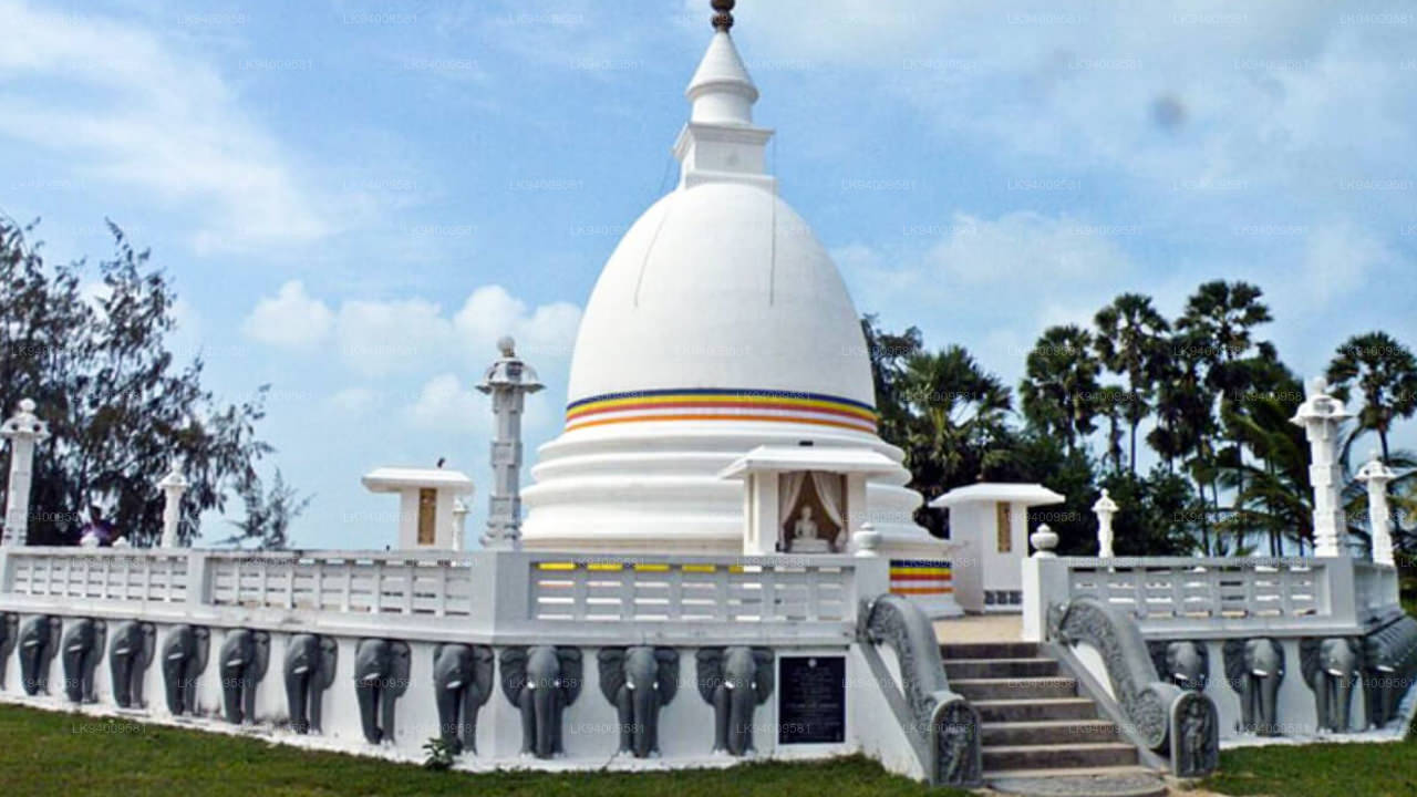
 Dowa Raja Maha Viharaya
Dowa Raja Maha Viharaya (Dowa Cape Temple) lies few kilometres away from the Bandarawela town on the Bandarawela – Badulla Road. This temple is thought to be done by King Walagamba in the in first century BC.
-
 Bogoda Wooden Bridge
The Bogoda Wooden Bridge was built in the 16th century during the Dambadeniya era. This is said to be the oldest surviving wooden bridge in Sri Lanka. The bridge is situated at 7 kilometres (4.3 mi) west of Badulla.
-
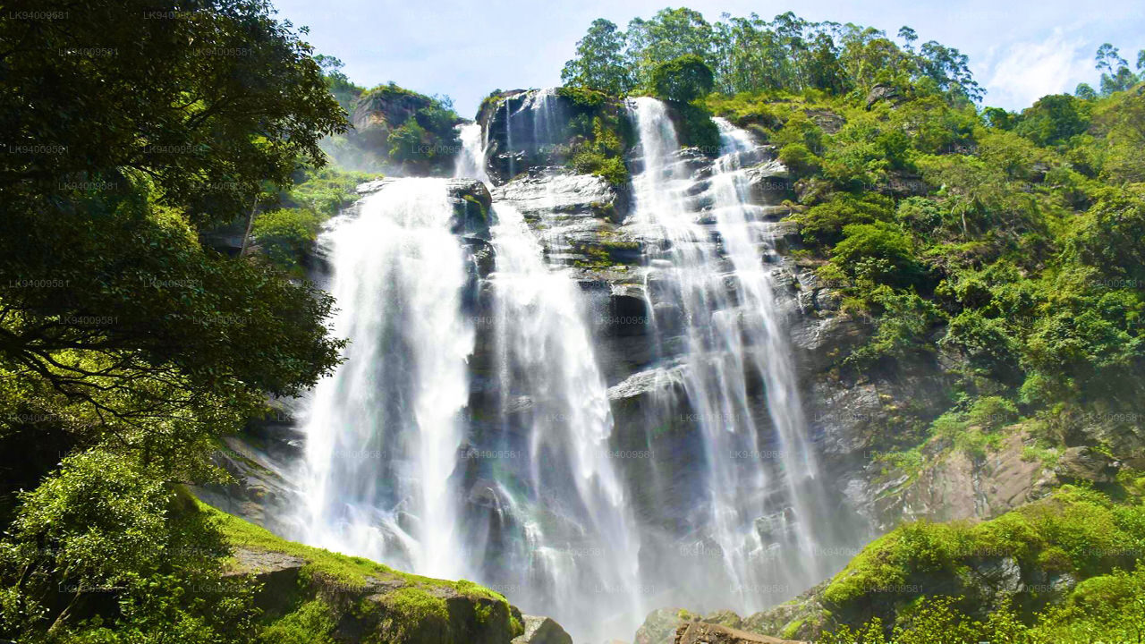
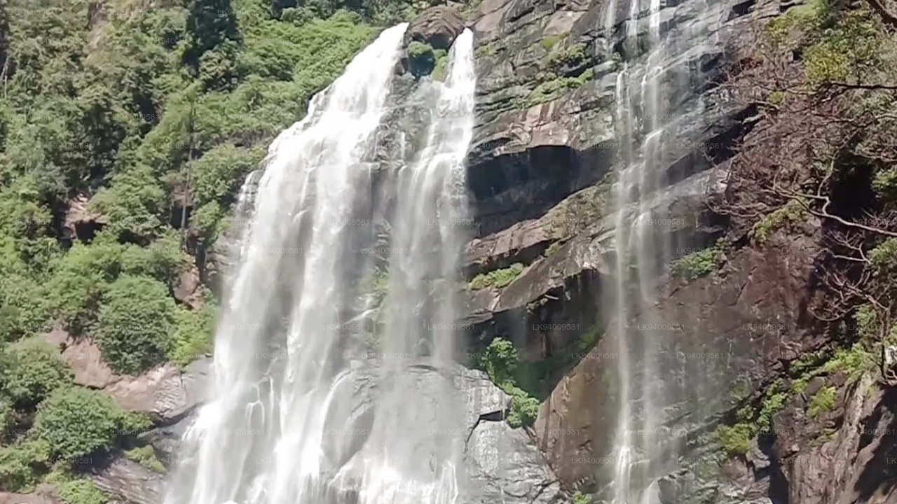
 Dunhinda Falls
Dunhinda Falls is situated about 5 km away from Badulla town. It is 63 meters high and is considered to be one of the most beautiful waterfalls in Sri Lanka. The falls gets its name dew to the smoky dew drops spray.
About Badulla District
Badulla is the capital of Uva Province in Sri Lanka. Badulla is located on the southeast of Kandy, almost encircled by the Badulu Oya , about 680 meters (2200 ft) above sea level and is surrounded by tea plantations. The town is overshadowed by the Namunukula range of mountains. Badulla is about 230km away from Colombo towards the eastern slopes of central hills of Sri Lanka.
Badulla and surroundings are highly recommended for eco-tourists as Horton Plains National Park and the Knuckles mountains are few hours away.
About Uva Province
The Uva Province is Sri Lanka's second least populated province, with 1,187,335 people, created in 1896. It consists of two districts called Badulla and Moneragala The provincial capital is Badulla. Uva is bordered by Eastern, Southern and Central provinces. Its major tourist attractions are Dunhinda Falls, Diyaluma Falls, Rawana Falls, the Yala National Park (lying partly in the Southern and Eastern Provinces) and Gal Oya National Park (lying partly in the Eastern Province). The Gal Oya hills and the Central Mountains are the main uplands, while the Mahaweli and Menik rivers and the huge Senanayake Samudraya and Maduru Oya Reservoirs are the major waterways in Uva province.
【Text by Lakpura™. Images by Google, copyright(s) reserved by original authors.】

